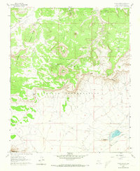
1960 Map of South Butte
USGS Topo · Published 1973About this map
Laguna Indian Reservation land defines this portion of New Mexico, characterized by dramatic mesas and isolated buttes that served as landmarks and cultural focal points. The map details the Laguna Pueblo Grant Boundary and provides visibility into remote settlements like Tze-Midi and Katama. The terrain is shaped by substantial geological features including Turquoise Butte, North Butte, and South Butte, with the Southwest Passage offering a natural corridor through the high ground.
Find a feature on this map
29 named features on this map. Tap any name to fly to it.
Don’t see what you’re looking for? This feature index may not catch every label — zoom into the map to look around manually.
Map Details
Editions of this 1960 South Butte Map
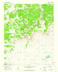
2 editions found
Other maps of this area

1883 · Mt. Taylor
USGS Topo · 1:250,000

1886 · Mt. Taylor
USGS Topo · 1:250,000

1892 · Mt. Taylor
USGS Topo · 1:250,000

1899 · Mt. Taylor
USGS Topo · 1:250,000

1917 · Cerro Verde
USGS Topo · 1:125,000

1917 · Broom Mountain
USGS Topo · 1:125,000

1954 · Socorro
USGS Topo · 1:250,000

1957 · Laguna
USGS Topo · 1:24,000

1957 · Cubero
USGS Topo · 1:24,000

1957 · Mesita
USGS Topo · 1:24,000