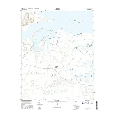
2016 Map of South Creek
USGS Topo · Published 2016About this map
South Creek and the surrounding Beaufort County wetlands dominate this coastal landscape, where the tides of the Pamlico River estuary meet a network of industrial and agricultural activity. The map reveals large-scale water management and industrial footprints through the massive T G Slimes Pond Number One and T G Clay Pond Number Three, which contrast sharply with the natural shoreline of Indian Island and the intricate drainage of Gum Swamp.
Find a feature on this map
94 named features on this map. Tap any name to fly to it.
Don’t see what you’re looking for? This feature index may not catch every label — zoom into the map to look around manually.
Map Details
Editions of this 2016 South Creek Map
This is the sole edition of this map. No revisions or reprints were ever made.
Other maps of this area

1950 · Vandemere
USGS Topo · 1:24,000

1950 · Lowland
USGS Topo · 1:24,000

1950 · South Creek
USGS Topo · 1:24,000

1950 · Jones Bay
USGS Topo · 1:24,000

1950 · Aurora
USGS Topo · 1:24,000

1951 · Bath
USGS Topo · 1:24,000

1951 · Ransomville
USGS Topo · 1:24,000

1951 · Pamlico Beach
USGS Topo · 1:24,000

1953 · Rocky Mount
USGS Topo · 1:250,000

1954 · Rocky Mount
USGS Topo · 1:250,000