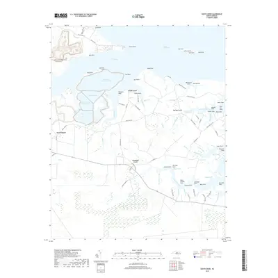
2019 Map of South Creek
USGS Topo · Published 2019About this map
The coastal marshlands and intricate inlets of Beaufort County define this landscape along the South Creek and Campbell Creek estuaries. Small riverside settlements like Spring Creek and South Creek anchor the interior, connected by a network of rural roads such as Vinegar Hill Rd and State Rd 1004. The map reveals a high concentration of named points and landings, including Hickory Point, Beargrass Point, and Old Mill Point, suggesting a long history of water-based navigation and local commerce.
Find a feature on this map
99 named features on this map. Tap any name to fly to it.
Don’t see what you’re looking for? This feature index may not catch every label — zoom into the map to look around manually.
Map Details
Editions of this 2019 South Creek Map
This is the sole edition of this map. No revisions or reprints were ever made.
Other maps of this area

1950 · Vandemere
USGS Topo · 1:24,000

1950 · Lowland
USGS Topo · 1:24,000

1950 · South Creek
USGS Topo · 1:24,000

1950 · Jones Bay
USGS Topo · 1:24,000

1950 · Aurora
USGS Topo · 1:24,000

1951 · Bath
USGS Topo · 1:24,000

1951 · Ransomville
USGS Topo · 1:24,000

1951 · Pamlico Beach
USGS Topo · 1:24,000

1953 · Rocky Mount
USGS Topo · 1:250,000

1954 · Rocky Mount
USGS Topo · 1:250,000