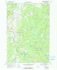
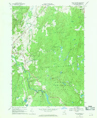
1969 Map of South Edwards
USGS Topo · Published 1990About this map
The Oswegatchie River defines the western landscape of this St. Lawrence County region, flowing past the village of Edwards and through the industrial focal point at South Edwards. Near the river's bend, a powerplant and several gravel pits indicate the local utility and resource extraction of the late 1960s. The area is heavily marked by public lands and forest management, including the Stammer Creek State Forest and the northern reaches of Adirondack State Park. Small, established communities like South Russell and the notably named Pond Settlement provide points of interest for genealogists tracing family locations in the town of Fine and surrounding townships. Numerous water bodies, such as Stockwell Pond, Warden Pond, and Hall Lake, are scattered throughout the dense woodland, connected by a network of local routes like Belleville Road and more remote jeep trails.
Find a feature on this map
46 named features on this map. Tap any name to fly to it.
Don’t see what you’re looking for? This feature index may not catch every label — zoom into the map to look around manually.
Map Details
Editions of this 1969 South Edwards Map
2 editions found
Other maps of this area

1913 · Lake Bonaparte
USGS Topo · 1:62,500

1915 · Gouverneur
USGS Topo · 1:62,500

1915 · Russell
USGS Topo · 1:62,500

1916 · Lake Bonaparte
USGS Topo · 1:62,500

1916 · Oswegatchie
USGS Topo · 1:62,500

1918 · Russell
USGS Topo · 1:62,500

1918 · Oswegatchie
USGS Topo · 1:62,500

1937 · Gouverneur
USGS Topo · 1:62,500

1948 · Ogdensburg
USGS Topo · 1:250,000

1951 · Ogdensburg
USGS Topo · 1:250,000