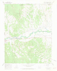
1967 Map of South Fork East
USGS Topo · Published 1969About this map
The Rio Grande River valley dominates this landscape, where the Denver and Rio Grande Western railroad tracks parallel the water through the settlements of South Fork and Granger. This 1960s survey illustrates a complex water management system vital to the region, featuring the Anaconda Ditch, Highline Ditch, and Minor Ditch Road. Cultural markers include the Holy Family Mission and a small Cem near the foothills of Agua Ramon Mountain. To the north, the small community of Agua Ramon sits near a specialized Radio Facility and Radio Patrol Towers, while the southern terrain transitions into the high country of the Rio Grande National Forest. Notable landmarks such as Granger Bridge and the Long Barn indicate the localized ranching and transit infrastructure of the era.
Find a feature on this map
41 named features on this map. Tap any name to fly to it.
Don’t see what you’re looking for? This feature index may not catch every label — zoom into the map to look around manually.
Map Details
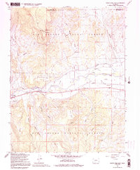
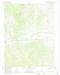
Editions of this 1967 South Fork East Map
3 editions found
Other maps of this area

1914 · Creede
USGS Topo · 1:125,000

1915 · Del Norte
USGS Topo · 1:125,000

1916 · Creede
USGS Topo · 1:125,000

1917 · Del Norte
USGS Topo · 1:125,000

1945 · Durango
USGS Topo · 1:250,000

1953 · Durango
USGS Topo · 1:250,000

1954 · Durango
USGS Topo · 1:250,000

1961 · Durango
USGS Topo · 1:250,000

1963 · Durango
USGS Topo · 1:250,000

1966 · Durango
USGS Topo · 1:250,000