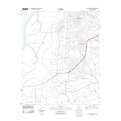
2011 Map of South Fort Smith
USGS Topo · Published 2011About this map
Fort Smith and its surrounding communities sit at a major hydrological intersection where the Poteau River flows into the Arkansas River at the Oklahoma-Arkansas border. This early 21st-century survey documents the urban and industrial expansion south of the city core, highlighting the transition from city blocks to the complex terrain of the Ouachita foothills. The geography is defined by a series of named elevations including Brooks Stephins Mountain, George Mountain, and White Bluff Mountain, which hem in the southward-reaching residential developments.
Find a feature on this map
112 named features on this map. Tap any name to fly to it.
Don’t see what you’re looking for? This feature index may not catch every label — zoom into the map to look around manually.
Map Details
Editions of this 2011 South Fort Smith Map
This is the sole edition of this map. No revisions or reprints were ever made.
Other maps of this area

1879 · Fort Smith
USGS Topo · 1:62,500

1887 · Van Buren
USGS Topo · 1:62,500

1887 · Greenwood
USGS Topo · 1:62,500

1890 · Fort Smith
USGS Topo · 1:125,000

1900 · Sallisaw
USGS Topo · 1:125,000

1911 · Sallisaw
USGS Topo · 1:125,000

1943 · Fort Smith
USGS Topo · 1:125,000

1946 · Fort Smith
USGS Topo · 1:250,000

1947 · Van Buren
USGS Topo · 1:62,500

1947 · Greenwood
USGS Topo · 1:62,500