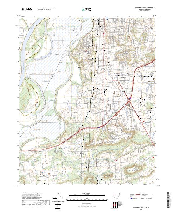
2024 Map of South Fort Smith
USGS Topo · Published 2024About this map
The Arkansas River and Poteau River dominate this borderland landscape, where the state line divides the Arkansas city of Fort Smith from Oklahoma communities like Arkoma and Pocola. The terrain is defined by a series of prominent elevations, including Brooks Stephens Mtn, George Mtn, Gray Mtn, and Grober Mtn, which rise above the river valleys and residential developments.
Find a feature on this map
143 named features on this map. Tap any name to fly to it.
Don’t see what you’re looking for? This feature index may not catch every label — zoom into the map to look around manually.
Map Details
Editions of this 2024 South Fort Smith Map
This is the sole edition of this map. No revisions or reprints were ever made.
Other maps of this area

1879 · Fort Smith
USGS Topo · 1:62,500

1887 · Van Buren
USGS Topo · 1:62,500

1887 · Greenwood
USGS Topo · 1:62,500

1890 · Fort Smith
USGS Topo · 1:125,000

1900 · Sallisaw
USGS Topo · 1:125,000

1911 · Sallisaw
USGS Topo · 1:125,000

1943 · Fort Smith
USGS Topo · 1:125,000

1946 · Fort Smith
USGS Topo · 1:250,000

1947 · Van Buren
USGS Topo · 1:62,500

1947 · Greenwood
USGS Topo · 1:62,500