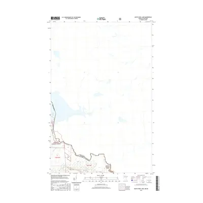
2016 Map of South Fowl Lake
USGS Topo · Published 2016About this map
Pigeon River forms a critical segment of the international boundary between Minnesota and Canada, defining the remote character of this borderland landscape. The topography is dominated by the Superior National Forest, where the land is primarily managed for conservation and wilderness. Significant waterways including South Fowl Lake and its tributaries, Stump River and Portage Brook, are the primary landmarks in an area largely devoid of modern settlements or developed roads. The presence of the Border Route indicates a historic reliance on specific corridors through the thick forest and along the water's edge, highlighting the same paths used for generations of travel between the United States and Canada in Cook County.
Find a feature on this map
11 named features on this map. Tap any name to fly to it.
Don’t see what you’re looking for? This feature index may not catch every label — zoom into the map to look around manually.
Map Details
Editions of this 2016 South Fowl Lake Map
This is the sole edition of this map. No revisions or reprints were ever made.
Other maps of this area

1954 · Two Harbors
USGS Topo · 1:250,000

1957 · Two Harbors
USGS Topo · 1:250,000

1957 · Quetico
USGS Topo · 1:250,000

1958 · Two Harbors
USGS Topo · 1:250,000

1958 · Hancock
USGS Topo · 1:250,000

1959 · Mineral Center
USGS Topo · 1:24,000

1959 · Pine Lake East
USGS Topo · 1:24,000

1959 · Tom Lake
USGS Topo · 1:24,000

1959 · Fort William
USGS Topo · 1:250,000

1960 · Hancock
USGS Topo · 1:250,000