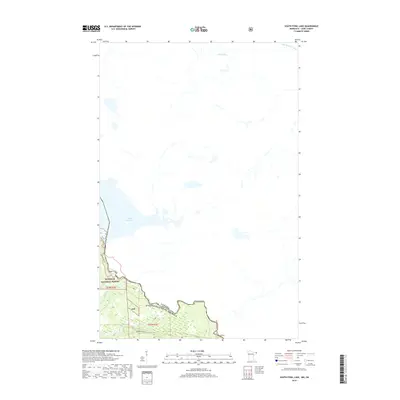
2019 Map of South Fowl Lake
USGS Topo · Published 2019About this map
The Canada-United States border defines the southern reach of this 2019 survey, tracing the winding course of the Pigeon River. This international boundary separates the wilderness of Superior National Forest from the Ontario landscape to the north. Waterways dominate the terrain, notably South Fowl Lake and the Arrow River, which together with the Little Whitefish River form a complex hydrologic network. The map reveals a landscape primarily accessible via the Border Route, highlighting the remote and protected nature of this corner of Cook County. Smaller tributaries such as the Stump River and Portage Brook feed into the larger river systems, illustrating the natural drainage patterns that have historically dictated travel and boundary lines in this northern forest region.
Find a feature on this map
12 named features on this map. Tap any name to fly to it.
Don’t see what you’re looking for? This feature index may not catch every label — zoom into the map to look around manually.
Map Details
Editions of this 2019 South Fowl Lake Map
This is the sole edition of this map. No revisions or reprints were ever made.
Other maps of this area

1954 · Two Harbors
USGS Topo · 1:250,000

1957 · Two Harbors
USGS Topo · 1:250,000

1957 · Quetico
USGS Topo · 1:250,000

1958 · Two Harbors
USGS Topo · 1:250,000

1958 · Hancock
USGS Topo · 1:250,000

1959 · Mineral Center
USGS Topo · 1:24,000

1959 · Pine Lake East
USGS Topo · 1:24,000

1959 · Tom Lake
USGS Topo · 1:24,000

1959 · Fort William
USGS Topo · 1:250,000

1960 · Hancock
USGS Topo · 1:250,000