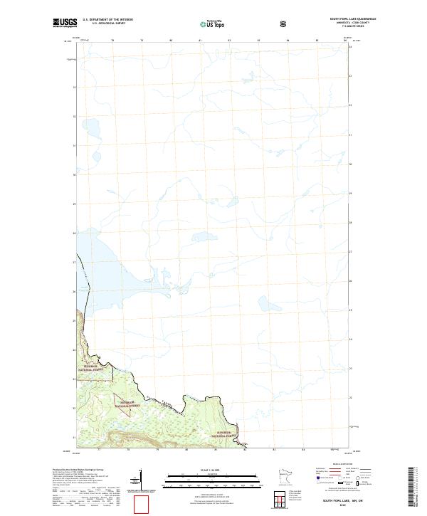
2022 Map of South Fowl Lake
USGS Topo · Published 2022About this map
Superior National Forest encompasses the rugged boundary lands of northeastern Minnesota in this recent survey. The landscape is defined by the international border following the Pigeon River, separating the Canada-United States frontier. Significant water features like South Fowl Lake and the winding course of the Swamp River dominate the topography. Modern recreational infrastructure is visible through the Border Route Trl, which traverses the forest south of the border. This area remains largely undeveloped, characterized by the intricate drainage patterns of Portage Brook and the thick timber of the North Woods. The map details the Township and Range boundaries of t64n r3e and t64n r4e, providing precise coordinates for this remote wilderness area.
Find a feature on this map
9 named features on this map. Tap any name to fly to it.
Don’t see what you’re looking for? This feature index may not catch every label — zoom into the map to look around manually.
Map Details
Editions of this 2022 South Fowl Lake Map
This is the sole edition of this map. No revisions or reprints were ever made.
Other maps of this area

1954 · Two Harbors
USGS Topo · 1:250,000

1957 · Two Harbors
USGS Topo · 1:250,000

1957 · Quetico
USGS Topo · 1:250,000

1958 · Two Harbors
USGS Topo · 1:250,000

1958 · Hancock
USGS Topo · 1:250,000

1959 · Mineral Center
USGS Topo · 1:24,000

1959 · Pine Lake East
USGS Topo · 1:24,000

1959 · Tom Lake
USGS Topo · 1:24,000

1959 · Fort William
USGS Topo · 1:250,000

1960 · Hancock
USGS Topo · 1:250,000