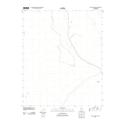
2010 Map of South Garcia SE
USGS Topo · Published 2010About this map
Rio Puerco defines the eastern boundary of this arid landscape in Bernalillo County, where the watercourse snakes through a broad valley. The terrain is characterized by massive elevated formations, most notably Black Mesa and Mesa Lucero, which loom over the drainages of Arroyo Garcia. Toward the south, Mesa Carrizo provides a stark contrast to the surrounding flats, leading the eye toward the distinct landmark of Hidden Mountain. Transportation through this high-desert environment is dominated by Indian Service Route 548, which winds northwest-to-southeast across the central portion of the quadrangle. This 2010 survey reflects a largely undeveloped region, where the naming of individual mesas and arroyos highlights the traditional importance of landforms and water sources in a place with few permanent settlements.
Find a feature on this map
7 named features on this map. Tap any name to fly to it.
Don’t see what you’re looking for? This feature index may not catch every label — zoom into the map to look around manually.
Map Details
Editions of this 2010 South Garcia SE Map
This is the sole edition of this map. No revisions or reprints were ever made.
Other maps of this area

1917 · Cerro Verde
USGS Topo · 1:125,000

1952 · Belen NW
USGS Topo · 1:24,000

1952 · Rio Puerco
USGS Topo · 1:24,000

1952 · Dalies NW
USGS Topo · 1:24,000

1954 · South Garcia
USGS Topo · 1:24,000

1954 · South Garcia SE
USGS Topo · 1:24,000

1954 · Socorro
USGS Topo · 1:250,000

1956 · South Garcia
USGS Topo · 1:62,500

1956 · Mesa Aparejo
USGS Topo · 1:62,500

1958 · Socorro
USGS Topo · 1:250,000