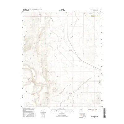
2017 Map of South Garcia SE
USGS Topo · Published 2017About this map
Laguna Pueblo Springs and Laguna Pueblo Seeps emerge from the eastern slopes of Mesa Lucero, highlighting the vital water sources that define this arid high-desert environment. The landscape is characterized by prominent geological features such as Black Mesa and Mesa Carrizo, which rise above the drainage systems of Arroyo Garcia and the Rio Puerco. Transportation across this section of the state is facilitated by a network of tribal and service roads, including Indian Svc Rte 548 and Indian Svc Rte 549. Straddling the border between Bernalillo and Valencia counties, the area shows a clear pattern of range and township divisions such as t7n r2w, which provide a window into the public land survey system near the prominent Hidden Mtn.
Find a feature on this map
16 named features on this map. Tap any name to fly to it.
Don’t see what you’re looking for? This feature index may not catch every label — zoom into the map to look around manually.
Map Details
Editions of this 2017 South Garcia SE Map
This is the sole edition of this map. No revisions or reprints were ever made.
Other maps of this area

1917 · Cerro Verde
USGS Topo · 1:125,000

1952 · Belen NW
USGS Topo · 1:24,000

1952 · Rio Puerco
USGS Topo · 1:24,000

1952 · Dalies NW
USGS Topo · 1:24,000

1954 · South Garcia
USGS Topo · 1:24,000

1954 · South Garcia SE
USGS Topo · 1:24,000

1954 · Socorro
USGS Topo · 1:250,000

1956 · South Garcia
USGS Topo · 1:62,500

1956 · Mesa Aparejo
USGS Topo · 1:62,500

1958 · Socorro
USGS Topo · 1:250,000