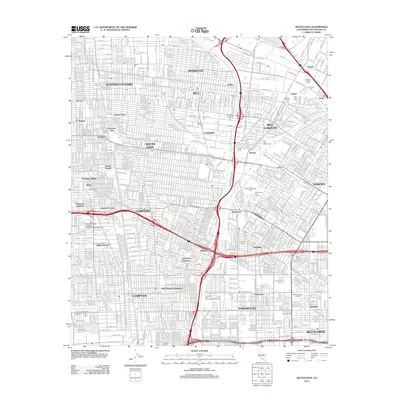
2012 Map of South Gate
USGS Topo · Published 2012About this map
Huntington Park, South Gate, and Lynwood form the dense urban core of this 2012 survey, revealing the complex industrial and residential grid of Southeast Los Angeles. The map traces the critical corridor of the Los Angeles River as it flows south toward Compton, flanked by major transit arteries and the rail lines of the Southern Pacific RR and Union Pacific RR. This era of the landscape is defined by its deep community roots, shown through institutions like the Charles R Drew University of Medicine and Science and the iconic Watts Tower landmark.
Find a feature on this map
108 named features on this map. Tap any name to fly to it.
Don’t see what you’re looking for? This feature index may not catch every label — zoom into the map to look around manually.
Map Details
Editions of this 2012 South Gate Map
This is the sole edition of this map. No revisions or reprints were ever made.
Other maps of this area

1894 · Los Angeles
USGS Topo · 1:62,500

1896 · Pasadena
USGS Topo · 1:62,500

1896 · Redondo
USGS Topo · 1:62,500

1896 · Santa Monica
USGS Topo · 1:62,500

1896 · Downey
USGS Topo · 1:62,500

1898 · Santa Monica
USGS Topo · 1:62,500

1899 · Downey
USGS Topo · 1:62,500

1900 · Pasadena
USGS Topo · 1:62,500

1900 · Los Angeles
USGS Topo · 1:62,500

1901 · Southern California Sheet No. 1
USGS Topo · 1:250,000