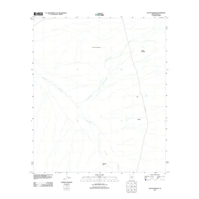
2011 Map of South Komelik
USGS Topo · Published 2011About this map
South Komelik and several other small settlements are positioned within a high-desert landscape defined by drainage patterns and arid terrain. The map documents a cluster of communities including Supi Oidak, Choulic, and Ak Chut Vaya, all connected by the north-south corridor of Indian Rte 19. This road serves as a vital artery through the desert, navigating the broad floodplains of the Chutum Vaya Wash and Vamori Wash, which dominate the local hydrology.
Find a feature on this map
8 named features on this map. Tap any name to fly to it.
Don’t see what you’re looking for? This feature index may not catch every label — zoom into the map to look around manually.
Map Details
Editions of this 2011 South Komelik Map
This is the sole edition of this map. No revisions or reprints were ever made.
Other maps of this area
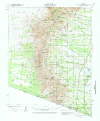
1941 · Presumido Peak
USGS Topo · 1:62,500
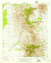
1941 · Baboquivari Peak
USGS Topo · 1:62,500
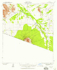
1941 · Vamori
USGS Topo · 1:62,500
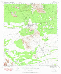
1941 · Sells
USGS Topo · 1:62,500
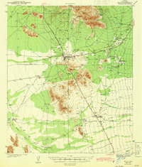
1943 · Sells
USGS Topo · 1:62,500
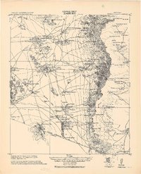
1943 · Fresnal
USGS Topo · 1:125,000
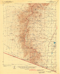
1943 · Presumido Peak
USGS Topo · 1:62,500
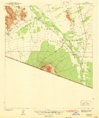
1943 · Vamori
USGS Topo · 1:62,500
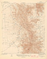
1944 · Baboquivari Peak
USGS Topo · 1:62,500
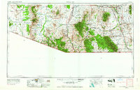
1956 · Nogales
USGS Topo · 1:250,000
Featured Places
- South Komelik, Topawa
- Ak Chut Vaya, Chukut Kuk District
- Topawa, AZ
- Choulic, Topawa
- Chukut Kuk District, AZ