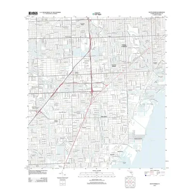
2012 Map of South Miami
USGS Topo · Published 2012About this map
Coral Gables and the surrounding suburban expansion of southern Miami-Dade County define this topographic landscape in the early 21st century. The map illustrates a densely populated region where residential growth is interspersed with major institutional landmarks and extensive recreational spaces. The University of Miami campus sits at the heart of the developed grid, while the shoreline of Biscayne Bay reveals the complex network of canals and yacht basins that characterize the coastal economy, including the Matheson Hammock Marina and Snapper Creek Marina.
Find a feature on this map
61 named features on this map. Tap any name to fly to it.
Don’t see what you’re looking for? This feature index may not catch every label — zoom into the map to look around manually.
Map Details
Editions of this 2012 South Miami Map
This is the sole edition of this map. No revisions or reprints were ever made.
Other maps of this area

1947 · Key Biscayne
USGS Topo · 1:24,000

1948 · Soldier Key
USGS Topo · 1:24,000

1949 · South Miami NW
USGS Topo · 1:24,000

1949 · Key Biscayne
USGS Topo · 1:24,000

1949 · Goulds
USGS Topo · 1:24,000

1949 · Perrine
USGS Topo · 1:24,000

1950 · Hialeah
USGS Topo · 1:24,000

1950 · Miami
USGS Topo · 1:24,000

1950 · South Miami
USGS Topo · 1:24,000

1955 · South Miami NW
USGS Topo · 1:24,000