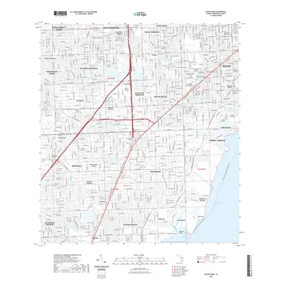
2021 Map of South Miami
USGS Topo · Published 2021About this map
The University of Miami campus and the bustling retail hub around Dadeland Mall anchor this highly developed landscape in the early 2020s. A complex network of artificial waterways, including the Snapper Creek Canal Number C-2 and the Coral Gables Canal, defines the drainage and residential layout of suburbs like Pinecrest and Glenvar Heights. These canals are integrated with recreational corridors such as the Florida Circumnavigational Paddling Trl and the Old Cutler Trail Corridor Trl.
Find a feature on this map
82 named features on this map. Tap any name to fly to it.
Don’t see what you’re looking for? This feature index may not catch every label — zoom into the map to look around manually.
Map Details
Editions of this 2021 South Miami Map
This is the sole edition of this map. No revisions or reprints were ever made.
Other maps of this area

1947 · Key Biscayne
USGS Topo · 1:24,000

1948 · Soldier Key
USGS Topo · 1:24,000

1949 · South Miami NW
USGS Topo · 1:24,000

1949 · Key Biscayne
USGS Topo · 1:24,000

1949 · Goulds
USGS Topo · 1:24,000

1949 · Perrine
USGS Topo · 1:24,000

1950 · Hialeah
USGS Topo · 1:24,000

1950 · Miami
USGS Topo · 1:24,000

1950 · South Miami
USGS Topo · 1:24,000

1955 · South Miami NW
USGS Topo · 1:24,000