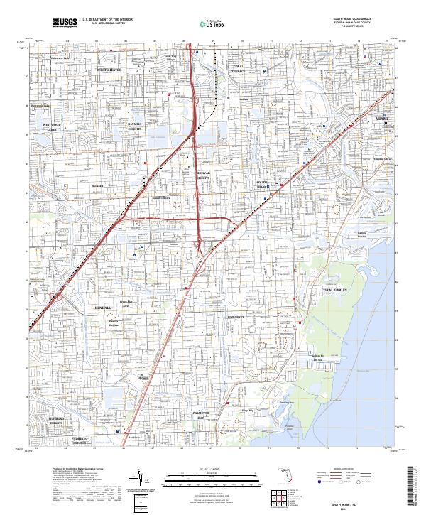
2024 Map of South Miami
USGS Topo · Published 2024About this map
Coral Gables and the surrounding Miami-Dade suburbs appear here in high detail, showcasing a landscape defined by an intricate network of residential streets and man-made waterways. The presence of the University of Miami School of Architecture and the Miami Dade College - Kendall Campus underscores the area's role as an educational hub. Distinctive features like the Venetian Pool and the Dade County Courthouse - Coral Gables Branch reflect the region's unique Mediterranean Revival aesthetic and administrative importance.
Find a feature on this map
74 named features on this map. Tap any name to fly to it.
Don’t see what you’re looking for? This feature index may not catch every label — zoom into the map to look around manually.
Map Details
Editions of this 2024 South Miami Map
This is the sole edition of this map. No revisions or reprints were ever made.
Other maps of this area
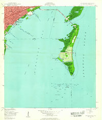
1947 · Key Biscayne
USGS Topo · 1:24,000
1948 · Soldier Key
USGS Topo · 1:24,000
1949 · South Miami NW
USGS Topo · 1:24,000
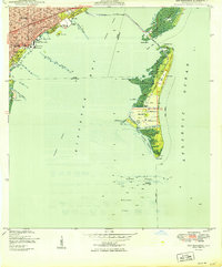
1949 · Key Biscayne
USGS Topo · 1:24,000
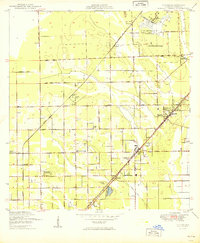
1949 · Goulds
USGS Topo · 1:24,000
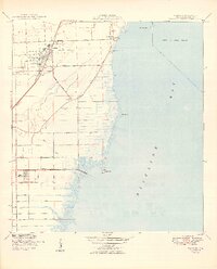
1949 · Perrine
USGS Topo · 1:24,000
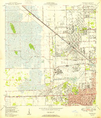
1950 · Hialeah
USGS Topo · 1:24,000
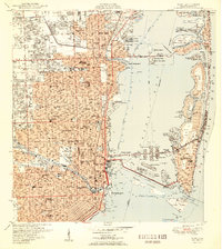
1950 · Miami
USGS Topo · 1:24,000
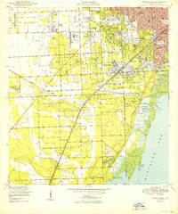
1950 · South Miami
USGS Topo · 1:24,000
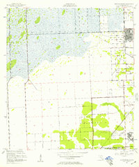
1955 · South Miami NW
USGS Topo · 1:24,000