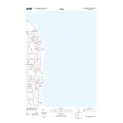
2013 Map of South Milwaukee
USGS Topo · Published 2013About this map
Lake Michigan defines the eastern edge of this coastal Milwaukee County landscape, where industrial utility and public recreation meet along the shoreline. The northern reach is anchored by the Wisconsin Electric Power Company and infrastructure like the Cudahy Water Works. Moving south, the terrain shifts into expansive green spaces, including the Warnimont Golf Course and the sprawling grounds of the Grant Park Golf Course.
Find a feature on this map
80 named features on this map. Tap any name to fly to it.
Don’t see what you’re looking for? This feature index may not catch every label — zoom into the map to look around manually.
Map Details
Editions of this 2013 South Milwaukee Map
This is the sole edition of this map. No revisions or reprints were ever made.
Other maps of this area

1891 · Bayview
USGS Topo · 1:62,500

1892 · Milwaukee
USGS Topo · 1:62,500

1901 · Milwaukee
USGS Topo · 1:62,500

1901 · Bayview
USGS Topo · 1:62,500

1906 · Milwaukee
USGS Topo · 1:62,500

1954 · Milwaukee
USGS Topo · 1:250,000

1958 · Milwaukee
USGS Topo · 1:250,000
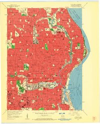
1958 · Milwaukee
USGS Topo · 1:24,000
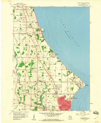
1958 · Racine North
USGS Topo · 1:24,000
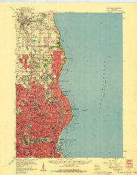
1958 · Milwaukee
USGS Topo · 1:62,500