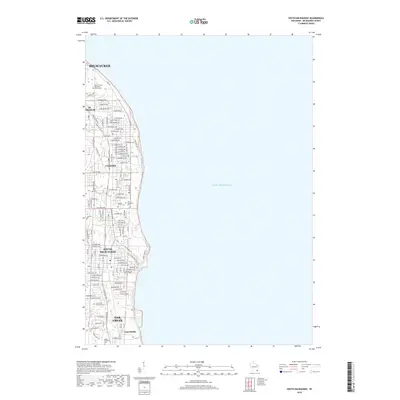
2018 Map of South Milwaukee
USGS Topo · Published 2018About this map
The urban shoreline of Lake Michigan dominates this modern topographical study, tracing the dense residential and industrial corridors south of Milwaukee. The map documents a contiguous string of Lake Michigan communities including St. Francis, Cudahy, and South Milwaukee, where a tight grid of streets like E Layton Ave and S Lake Dr meet the bluffs. Toward the southern end, the landscape shifts slightly near Oak Creek and the settlement of Carrollville, where the winding course of Oak Cr breaks the geometric patterns of the suburbs.
Find a feature on this map
115 named features on this map. Tap any name to fly to it.
Don’t see what you’re looking for? This feature index may not catch every label — zoom into the map to look around manually.
Map Details
Editions of this 2018 South Milwaukee Map
This is the sole edition of this map. No revisions or reprints were ever made.
Other maps of this area

1891 · Bayview
USGS Topo · 1:62,500

1892 · Milwaukee
USGS Topo · 1:62,500

1901 · Milwaukee
USGS Topo · 1:62,500

1901 · Bayview
USGS Topo · 1:62,500

1906 · Milwaukee
USGS Topo · 1:62,500

1954 · Milwaukee
USGS Topo · 1:250,000

1958 · Milwaukee
USGS Topo · 1:250,000
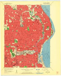
1958 · Milwaukee
USGS Topo · 1:24,000
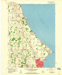
1958 · Racine North
USGS Topo · 1:24,000
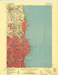
1958 · Milwaukee
USGS Topo · 1:62,500