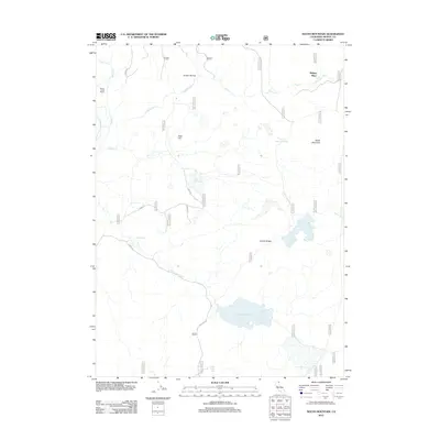
2012 Map of South Mountain
USGS Topo · Published 2012About this map
Mulkey Place and Willow Creek Ranch anchor this corner of Modoc County, representing the persistent ranching legacy in a landscape defined by high-altitude volcanic terrain and water scarcity. The terrain is dominated by South Mountain and Juniper Ridge, where a network of Forest Service roads, including S Main Rd and 46N44 Rd, provides access to dispersed water improvements. These features, such as Telephone Flat Reservoir, South Mountain Reservoir, and various livestock tanks like Bauley Tank and Cow Head Tank, are essential infrastructure for land management in the arid West. The hydrography of the region is further characterized by drainage patterns like Grassy Ravine and the seasonal flows of Fletcher Cr and Willow Cr. This 2012 survey illustrates the modern configuration of these remote outposts and the systematic numbering of the backcountry road network that supports local industry and fire management.
Find a feature on this map
39 named features on this map. Tap any name to fly to it.
Don’t see what you’re looking for? This feature index may not catch every label — zoom into the map to look around manually.
Map Details
Editions of this 2012 South Mountain Map
This is the sole edition of this map. No revisions or reprints were ever made.
Other maps of this area

1886 · Alturas
USGS Topo · 1:250,000

1892 · Alturas
USGS Topo · 1:250,000

1954 · Alturas
USGS Topo · 1:250,000

1958 · Alturas
USGS Topo · 1:250,000

1962 · Alturas
USGS Topo · 1:250,000

1962 · Big Sage Reservoir
USGS Topo · 1:62,500

1962 · Steele Swamp
USGS Topo · 1:62,500

1962 · South Mountain
USGS Topo · 1:62,500

1962 · Jacks Butte
USGS Topo · 1:62,500

1965 · Alturas
USGS Topo · 1:250,000