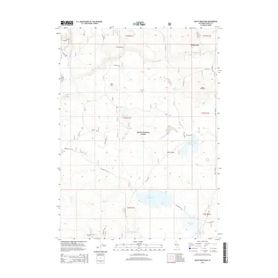
2015 Map of South Mountain
USGS Topo · Published 2015About this map
Modoc National Forest encompasses this high-elevation terrain in northeast California, where a complex network of forest roads and spurs connects isolated water sources and peaks. The map detail highlights an environment managed for resource protection, featuring a series of catchments and tanks including Telephone Flat Reservoir, Deer Hill Reservoir, and the remote South Mountain Reservoir. Named landmarks such as South Mountain, Deer Hill, and Juniper Ridge define the local topography. At Mulkey Place, the landscape opens near Fletcher Cr, while livestock and wildlife management is evident through distributed water points like Cougar Pass Tank and Bayley Tank. The reliance on these infrastructure points underscores the arid, high-country nature of this portion of the forest, where tracks like the S Mtn Res Spur and Timbered Mtn Loop provide the primary access through the townships.
Find a feature on this map
32 named features on this map. Tap any name to fly to it.
Don’t see what you’re looking for? This feature index may not catch every label — zoom into the map to look around manually.
Map Details
Editions of this 2015 South Mountain Map
This is the sole edition of this map. No revisions or reprints were ever made.
Other maps of this area

1886 · Alturas
USGS Topo · 1:250,000

1892 · Alturas
USGS Topo · 1:250,000

1954 · Alturas
USGS Topo · 1:250,000

1958 · Alturas
USGS Topo · 1:250,000

1962 · Alturas
USGS Topo · 1:250,000

1962 · Big Sage Reservoir
USGS Topo · 1:62,500

1962 · Steele Swamp
USGS Topo · 1:62,500

1962 · South Mountain
USGS Topo · 1:62,500

1962 · Jacks Butte
USGS Topo · 1:62,500

1965 · Alturas
USGS Topo · 1:250,000