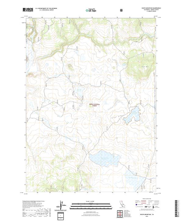
2021 Map of South Mountain
USGS Topo · Published 2021About this map
Modoc National Forest land defines this high-elevation landscape in northeastern California, where the topography is shaped by prominent rises like South Mtn and the long spine of Juniper Ridge. Water management is central to the area's utility, evidenced by a network of catchments and storage sites including Telephone Flat Reservoir, Deer Hill Reservoir, and the South Mountain Reservoir. These features, along with specialized points like Cow Head Tank and Cougar Pass Tank, suggest a landscape utilized for livestock grazing or forest service operations within the federal lands. Drainage for the region is provided by numerous seasonal and perennial flows, such as Mosquito Cr, Willow Cr, and Fletcher Cr, which cut through the terrain near Deer Hill. Localized water sources like South Mountain Springs further emphasize the critical nature of water access in this high-country environment.
Find a feature on this map
20 named features on this map. Tap any name to fly to it.
Don’t see what you’re looking for? This feature index may not catch every label — zoom into the map to look around manually.
Map Details
Editions of this 2021 South Mountain Map
This is the sole edition of this map. No revisions or reprints were ever made.
Other maps of this area

1886 · Alturas
USGS Topo · 1:250,000

1892 · Alturas
USGS Topo · 1:250,000

1954 · Alturas
USGS Topo · 1:250,000

1958 · Alturas
USGS Topo · 1:250,000

1962 · Alturas
USGS Topo · 1:250,000

1962 · Big Sage Reservoir
USGS Topo · 1:62,500

1962 · Steele Swamp
USGS Topo · 1:62,500

1962 · South Mountain
USGS Topo · 1:62,500

1962 · Jacks Butte
USGS Topo · 1:62,500

1965 · Alturas
USGS Topo · 1:250,000