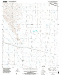
1996 Map of South of Bailey Peak
USGS Topo · Published 2003About this map
Tohono O'odham Indian Reservation lands meet the international boundary in this detailed survey of the borderlands south of the Lukeville area. The landscape transitions from the peaks of Sierra El Conejo and Sierra La Nariz into the expansive desert floor of The Great Plain. This map documents a cross-border environment where the ephemeral waters of the Sonoita river cross into Mexico, surrounded by ranching outposts and small settlements including Cuauhtémoc, El Conejo, and La Nariz. To the south, the map details several Mexican locales such as Rancho Lilón, División del Norte, and Veintiuno de Marzo (Fracción Uno). The presence of a remote Landing Strip near the northern mountains and the crossing of the Burro Pardo wash underscore the logistical and geographical character of this arid frontier region during the late twentieth century.
Find a feature on this map
17 named features on this map. Tap any name to fly to it.
Don’t see what you’re looking for? This feature index may not catch every label — zoom into the map to look around manually.
Map Details
Editions of this 1996 South of Bailey Peak Map
This is the sole edition of this map. No revisions or reprints were ever made.
Other maps of this area

1954 · Sonoyta
USGS Topo · 1:250,000

1963 · Kom Vo
USGS Topo · 1:62,500

1963 · Lukeville
USGS Topo · 1:250,000

1963 · Diaz Peak
USGS Topo · 1:62,500
1988 · South of Bailey Peak
USGS Topo · 1:24,000
1988 · South of Papago Farms
USGS Topo · 1:24,000
1988 · Bailey Peak
USGS Topo · 1:24,000
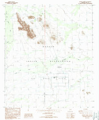
1988 · Papago Farms
USGS Topo · 1:24,000
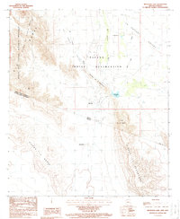
1988 · Menagers Lake
USGS Topo · 1:24,000
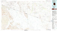
1994 · Lukeville
USGS Topo · 1:100,000