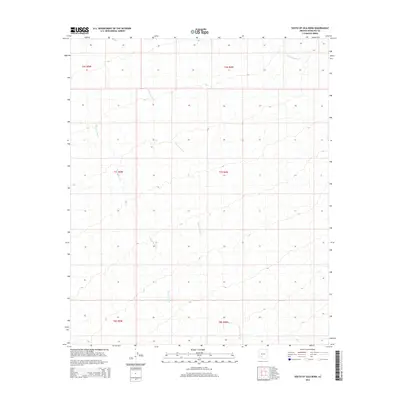
2014 Map of South of Gila Bend
USGS Topo · Published 2014About this map
Quilotosa Wash and Sauceda Wash snake through this arid stretch of Maricopa County, defining the drainage patterns of the Sonoran Desert south of the Gila River. This 2014 survey captures a landscape dominated by braided alluvial channels and desert floor, where the watercourses are ephemeral but crucial to the local topography. To the north, Sand Tank Wash enters the frame, illustrating the network of dry beds that shape the region's geography. The map is organized by the Public Land Survey System, showing sections across Townships 6, 7, and 8 South, which provide a precise grid for researchers and land managers tracking property lines or environmental changes in the open desert. It reflects a modern era of mapping that relies on high-resolution data to document the subtle shifts in this desert environment.
Find a feature on this map
9 named features on this map. Tap any name to fly to it.
Don’t see what you’re looking for? This feature index may not catch every label — zoom into the map to look around manually.
Map Details
Editions of this 2014 South of Gila Bend Map
This is the sole edition of this map. No revisions or reprints were ever made.
Other maps of this area

1950 · Theba
USGS Topo · 1:62,500

1951 · Gila Bend
USGS Topo · 1:62,500

1951 · Theba
USGS Topo · 1:62,500

1953 · Ajo
USGS Topo · 1:250,000

1957 · Ajo
USGS Topo · 1:250,000

1958 · Ajo
USGS Topo · 1:250,000

1958 · Midway
USGS Topo · 1:62,500

1958 · Hat Mountain
USGS Topo · 1:62,500

1962 · Ajo
USGS Topo · 1:250,000

1963 · Ajo
USGS Topo · 1:250,000