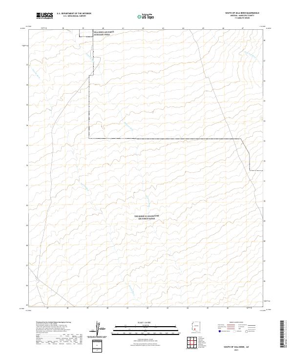
2021 Map of South of Gila Bend
USGS Topo · Published 2021About this map
Quilotosa Wash and Sauceda Wash carve intricate patterns through this desert landscape south of Gila Bend. These ephemeral drainage systems are the defining physical features of the region, dictating the natural flow of water across the arid basins of the Sonoran Desert. The map serves as a detailed study of the land's hydrology, where the Sand Tank Wash also emerges in the northeastern corner, illustrating the complex network of dry streambeds that characterizes this corner of Maricopa County. The precise surveying by the U.S. Geological Survey reveals how the topography is shaped by these watercourses, providing essential data for understanding the environmental and geographic layout of the territory during the early 21st century.
Find a feature on this map
9 named features on this map. Tap any name to fly to it.
Don’t see what you’re looking for? This feature index may not catch every label — zoom into the map to look around manually.
Map Details
Editions of this 2021 South of Gila Bend Map
This is the sole edition of this map. No revisions or reprints were ever made.
Other maps of this area

1950 · Theba
USGS Topo · 1:62,500

1951 · Gila Bend
USGS Topo · 1:62,500

1951 · Theba
USGS Topo · 1:62,500

1953 · Ajo
USGS Topo · 1:250,000

1957 · Ajo
USGS Topo · 1:250,000

1958 · Ajo
USGS Topo · 1:250,000

1958 · Midway
USGS Topo · 1:62,500

1958 · Hat Mountain
USGS Topo · 1:62,500

1962 · Ajo
USGS Topo · 1:250,000

1963 · Ajo
USGS Topo · 1:250,000