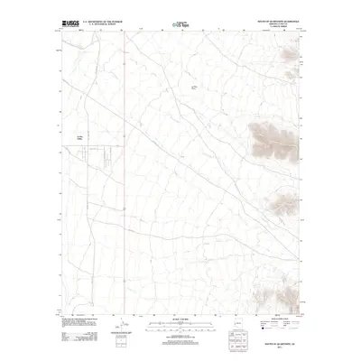
2011 Map of South of Quartzsite
USGS Topo · Published 2011About this map
La Posa Plain and the La Paz Valley dominate this arid landscape south of Quartzsite during the early 21st century. The map depicts a transition from wide open alluvial desert to a developing grid of streets and infrastructure. The diagonal path of French Creek cuts across the terrain, illustrating the natural drainage patterns that define this part of La Paz County.
Find a feature on this map
12 named features on this map. Tap any name to fly to it.
Don’t see what you’re looking for? This feature index may not catch every label — zoom into the map to look around manually.
Map Details
Editions of this 2011 South of Quartzsite Map
This is the sole edition of this map. No revisions or reprints were ever made.
Other maps of this area

1933 · Cunningham Mtn
USGS Topo · 1:48,000

1934 · Trigo Peaks
USGS Topo · 1:48,000

1939 · Trigo Peaks
USGS Topo · 1:62,500

1940 · Dome Rock Mts
USGS Topo · 1:62,500

1942 · Blythe
USGS Topo · 1:250,000

1954 · Salton Sea
USGS Topo · 1:250,000

1954 · Trigo Peaks
USGS Topo · 1:62,500

1955 · Salton Sea
USGS Topo · 1:250,000

1959 · Salton Sea
USGS Topo · 1:250,000

1962 · Quartzsite
USGS Topo · 1:62,500