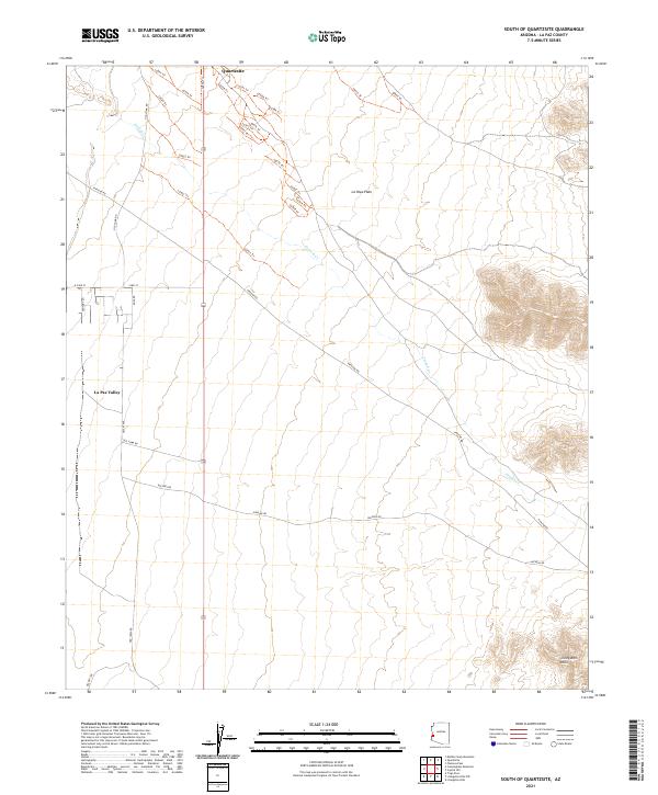
2021 Map of South of Quartzsite
USGS Topo · Published 2021About this map
Quartzsite anchors the northern edge of this arid landscape, serving as a gateway to the expansive La Posa Plain. The area is defined by a complex network of desert tracks and trails, including Lp581 Trl and Lp570 Trl, which navigate the terrain alongside the ephemeral drainage of French Cr. Significant travel corridors like Old Yuma Rd and Pipeline Rd bisect the valley, marking the historical and modern transit routes through this section of La Paz County.
Find a feature on this map
37 named features on this map. Tap any name to fly to it.
Don’t see what you’re looking for? This feature index may not catch every label — zoom into the map to look around manually.
Map Details
Editions of this 2021 South of Quartzsite Map
This is the sole edition of this map. No revisions or reprints were ever made.
Other maps of this area

1933 · Cunningham Mtn
USGS Topo · 1:48,000

1934 · Trigo Peaks
USGS Topo · 1:48,000

1939 · Trigo Peaks
USGS Topo · 1:62,500

1940 · Dome Rock Mts
USGS Topo · 1:62,500

1942 · Blythe
USGS Topo · 1:250,000

1954 · Salton Sea
USGS Topo · 1:250,000

1954 · Trigo Peaks
USGS Topo · 1:62,500

1955 · Salton Sea
USGS Topo · 1:250,000

1959 · Salton Sea
USGS Topo · 1:250,000

1962 · Quartzsite
USGS Topo · 1:62,500