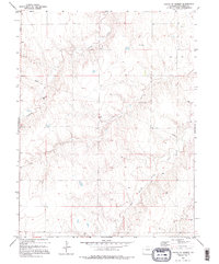
1979 Map of South of Seibert
USGS Topo · Published 1995About this map
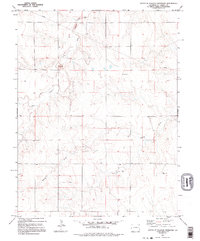
New Friedenburg Ch stands as a focal point in this sparsely settled landscape of Kit Carson County, characterized by the winding drainages of Spring Creek and its tributary, the East Branch Spring Creek. The map reflects a rural environment where land use is defined by wide-open terrain and essential resource infrastructure, including a prominent Pipeline cutting across the northwest and southeast sections. Water management is a central theme of the topography, evidenced by numerous tanks and wells scattered throughout the sections to support livestock or agricultural needs. Compiled from 1973 aerial photography, this survey records the quiet, functional character of the High Plains before modern developments, preserving the locations of specific family-named or communal landmarks in an area where few formal settlements exist.
Find a feature on this map
7 named features on this map. Tap any name to fly to it.
Don’t see what you’re looking for? This feature index may not catch every label — zoom into the map to look around manually.
Map Details
Editions of this 1979 South of Seibert Map
2 editions found
Other maps of this area

1954 · Limon
USGS Topo · 1:250,000

1957 · Limon
USGS Topo · 1:250,000

1958 · Limon
USGS Topo · 1:250,000

1979 · Stratton 3 SE
USGS Topo · 1:24,000

1979 · Vona
USGS Topo · 1:24,000
1979 · Alpine Ranch NW
USGS Topo · 1:24,000
1979 · Stratton 3 SW
USGS Topo · 1:24,000

1979 · Stratton 3 NE
USGS Topo · 1:24,000
1979 · Alpine Ranch SW
USGS Topo · 1:24,000
1979 · South of Flagler Reservoir
USGS Topo · 1:24,000