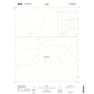
2018 Map of South of Theba
USGS Topo · Published 2018About this map
Township lines and section boundaries define this arid stretch of Maricopa County, surveyed here during the late 2010s. The landscape is characterized by the structured grid of the Public Land Survey System, including T7s R7w and T7s R6w. Topographic contours reveal subtle desert landforms and isolated peaks that rise from the basin floor. While the map is sparse in named settlements, the precision of the U.S. Geological Survey topographic data provides a detailed record of the drainage patterns and elevation changes across T6s R7w and surrounding survey blocks. This record is essential for understanding the physical geography and land divisions in this part of Arizona.
Find a feature on this map
6 named features on this map. Tap any name to fly to it.
Don’t see what you’re looking for? This feature index may not catch every label — zoom into the map to look around manually.
Map Details
Editions of this 2018 South of Theba Map
This is the sole edition of this map. No revisions or reprints were ever made.
Other maps of this area

1949 · Sentinel
USGS Topo · 1:62,500

1950 · Sentinel
USGS Topo · 1:62,500

1950 · Theba
USGS Topo · 1:62,500

1951 · Theba
USGS Topo · 1:62,500

1953 · Ajo
USGS Topo · 1:250,000

1957 · Ajo
USGS Topo · 1:250,000

1958 · Ajo
USGS Topo · 1:250,000

1958 · Midway
USGS Topo · 1:62,500

1962 · Ajo
USGS Topo · 1:250,000

1963 · Ajo
USGS Topo · 1:250,000