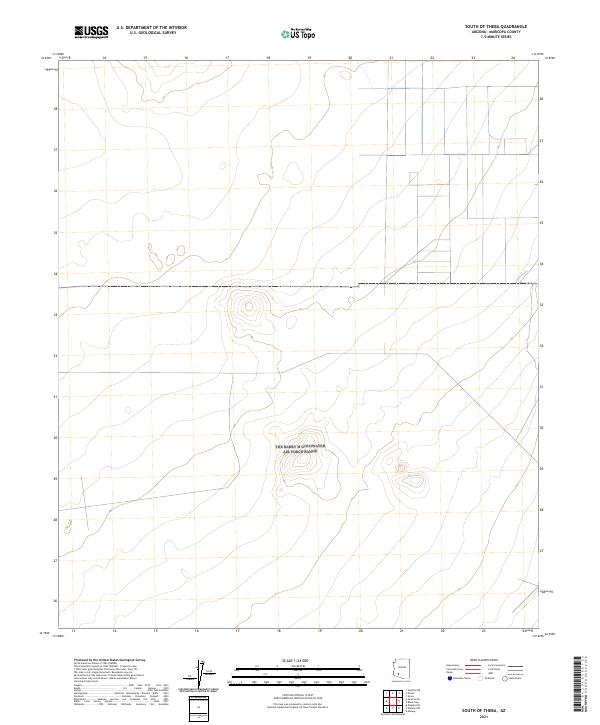
2021 Map of South of Theba
USGS Topo · Published 2021About this map
The arid expanse of the Arizona desert south of the Gila River corridor is defined by the rigid grid of the Public Land Survey System, as seen in this 2021 study. The landscape is primarily organized by the townships of T6s R7w, T6s R6w, and their neighbors to the south. Topographic contours reveal isolated desert hills and small peaks that break the otherwise steady slope of the terrain. The absence of named settlements or major infrastructure highlights the open, undeveloped character of this Maricopa County quadrant, where land is partitioned into vast sections. This map serves as a primary reference for the exact township and range boundaries including T7s R7w, T7s R6w, T8s R7w, and T8s R6w, which are essential for identifying land ownership and grazing allotments in the region.
Find a feature on this map
6 named features on this map. Tap any name to fly to it.
Don’t see what you’re looking for? This feature index may not catch every label — zoom into the map to look around manually.
Map Details
Editions of this 2021 South of Theba Map
This is the sole edition of this map. No revisions or reprints were ever made.
Other maps of this area

1949 · Sentinel
USGS Topo · 1:62,500

1950 · Sentinel
USGS Topo · 1:62,500

1950 · Theba
USGS Topo · 1:62,500

1951 · Theba
USGS Topo · 1:62,500

1953 · Ajo
USGS Topo · 1:250,000

1957 · Ajo
USGS Topo · 1:250,000

1958 · Ajo
USGS Topo · 1:250,000

1958 · Midway
USGS Topo · 1:62,500

1962 · Ajo
USGS Topo · 1:250,000

1963 · Ajo
USGS Topo · 1:250,000