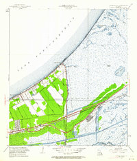
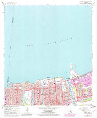
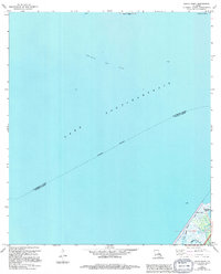
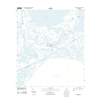
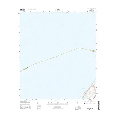
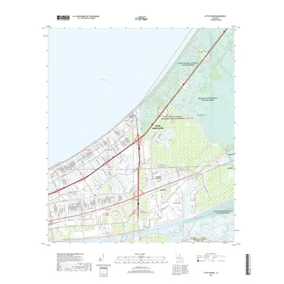
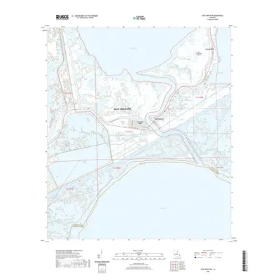
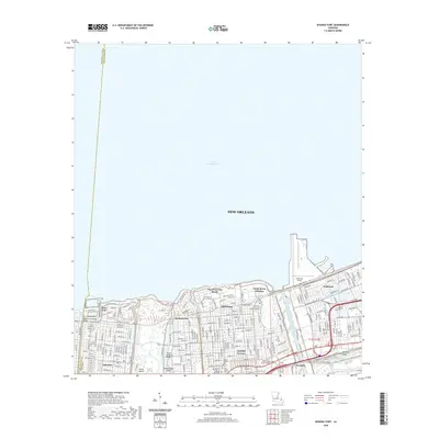
1967 Map of South Point
USGS Topo · Published 1980About this map
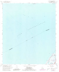
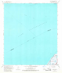
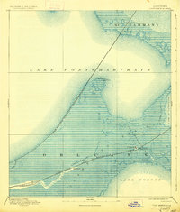
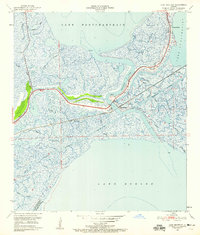
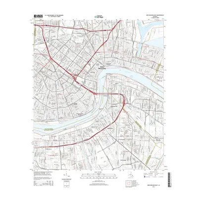
Lake Pontchartrain dominates this coastal survey, where the saltwater expanse meets the marshy fringes of St Tammany and Orleans Parishes. The industrial character of the gulf coast is evident in the presence of the Big Point Gas Field, marked across the open water. At the southeast edge, the small settlement of South Point provides a rare point of dry land, defined by local waterways like the Southern Canal and Irish Bayou Lagoon. This 1967 mapping, which includes photorevisions from the late 1970s, captures the complex hydrology of the region before significant modern development altered the shoreline. Tracing the Indefinite Boundary through the lake reveals the jurisdictional complexities of this aquatic landscape, while family-named features like Cane Bayou and Bayou Castiglione offer clues for those researching the local geography of the bayou country.
Find a feature on this map
16 named features on this map. Tap any name to fly to it.
Don’t see what you’re looking for? This feature index may not catch every label — zoom into the map to look around manually.
Map Details
Editions of this 1967 South Point Map
3 editions found
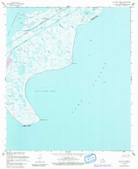
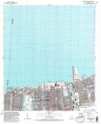
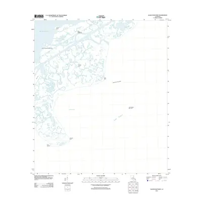
Historical Maps of New Orleans Through Time
60 maps found
1892 Chef Menteur
Orleans Parish, LA

1932 New Orleans NE
Orleans Parish, LA

1936 Chef Menteur
Orleans Parish, LA

1936 South Point
Orleans Parish, LA

1937 Chef Menteur
Orleans Parish, LA

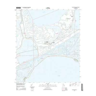
1938 Little Woods
Orleans Parish, LA

1938 Spanish Fort
Orleans Parish, LA

1939 New Orleans East
Orleans Parish, LA

1943 Little Woods
Orleans Parish, LA

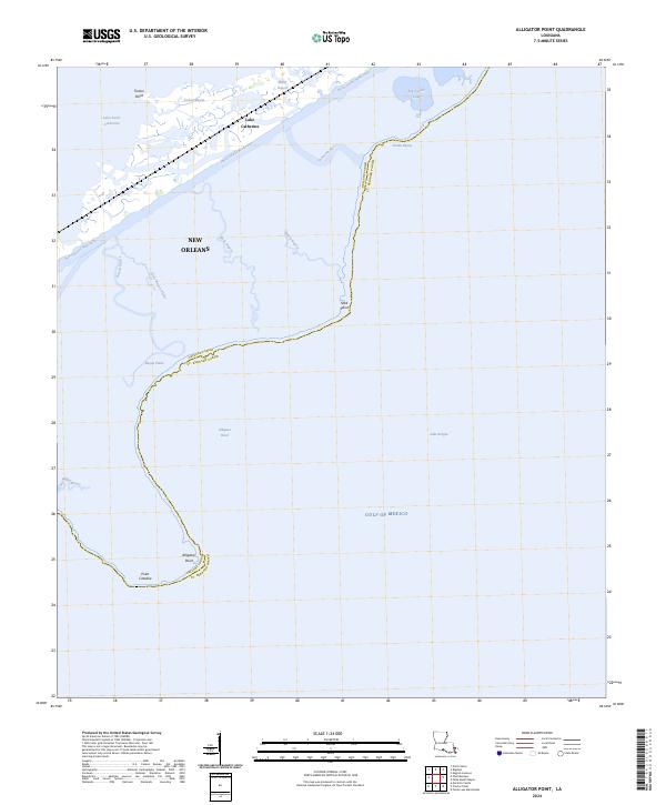
1949 Alligator Point
Orleans Parish, LA
1951 Chef Menteur
Orleans Parish, LA
1951 Little Woods
Orleans Parish, LA
1951 New Orleans East
Orleans Parish, LA

1951 South Point
Orleans Parish, LA
1951 Spanish Fort
Orleans Parish, LA
1956 Alligator Point
Orleans Parish, LA
1965 Spanish Fort
Orleans Parish, LA
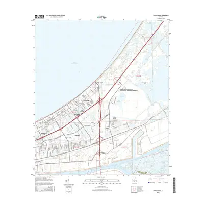
1966 New Orleans East
Orleans Parish, LA
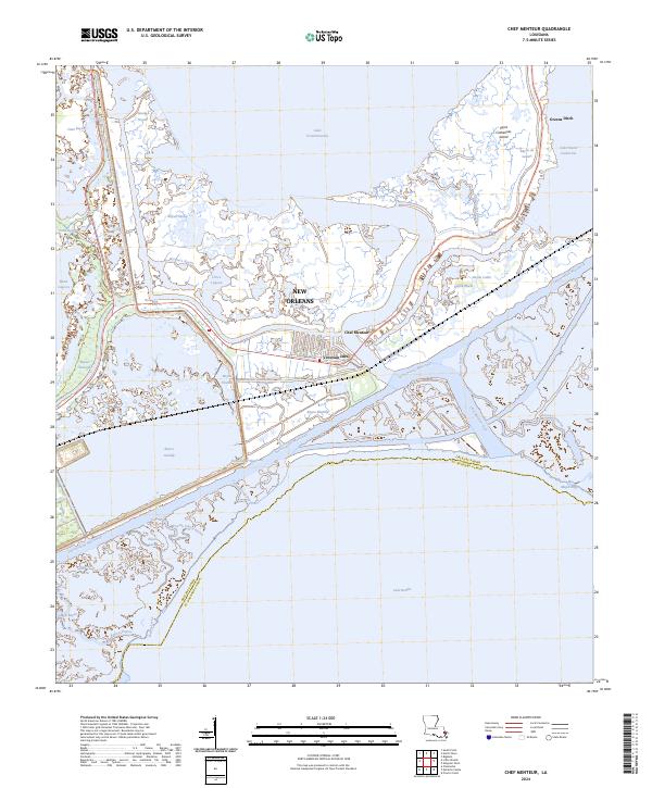
1967 Chef Menteur
Orleans Parish, LA
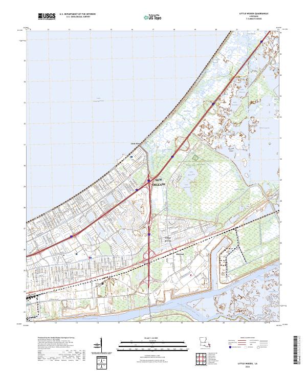
1967 Little Woods
Orleans Parish, LA
1967 South Point
Orleans Parish, LA
1968 Alligator Point
Orleans Parish, LA

1969 Chef Menteur
Orleans Parish, LA

1992 New Orleans East
Orleans Parish, LA
1992 Spanish Fort
Orleans Parish, LA

1994 Alligator Point
Orleans Parish, LA

1998 Chef Menteur
Orleans Parish, LA

1998 Little Woods
Orleans Parish, LA

1998 New Orleans East
Orleans Parish, LA

1999 Spanish Fort
Orleans Parish, LA
2012 Alligator Point
Orleans Parish, LA
2012 Chef Menteur
Orleans Parish, LA
2012 Little Woods
Orleans Parish, LA

2012 New Orleans East
Orleans Parish, LA
2012 South Point
Orleans Parish, LA
2012 Spanish Fort
Orleans Parish, LA
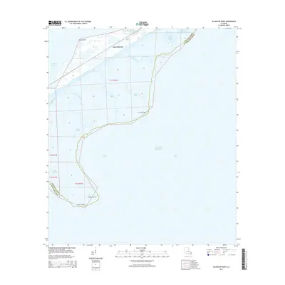
2015 Alligator Point
Orleans Parish, LA
2015 Chef Menteur
Orleans Parish, LA
2015 Little Woods
Orleans Parish, LA
2015 New Orleans East
Orleans Parish, LA
2015 South Point
Orleans Parish, LA
2015 Spanish Fort
Orleans Parish, LA
2018 Alligator Point
Orleans Parish, LA
2018 Chef Menteur
Orleans Parish, LA
2018 Little Woods
Orleans Parish, LA

2018 New Orleans East
Orleans Parish, LA
2018 South Point
Orleans Parish, LA
2018 Spanish Fort
Orleans Parish, LA
2020 Alligator Point
Orleans Parish, LA
2020 Chef Menteur
Orleans Parish, LA
2020 Little Woods
Orleans Parish, LA
2020 New Orleans East
Orleans Parish, LA
2020 South Point
Orleans Parish, LA
2020 Spanish Fort
Orleans Parish, LA
2024 Alligator Point
Orleans Parish, LA
2024 Chef Menteur
Orleans Parish, LA
2024 Little Woods
Orleans Parish, LA
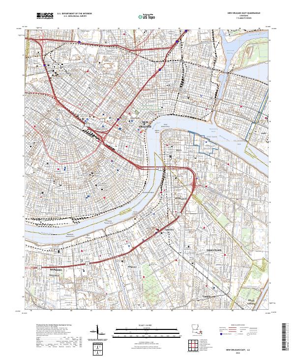
2024 New Orleans East
Orleans Parish, LA
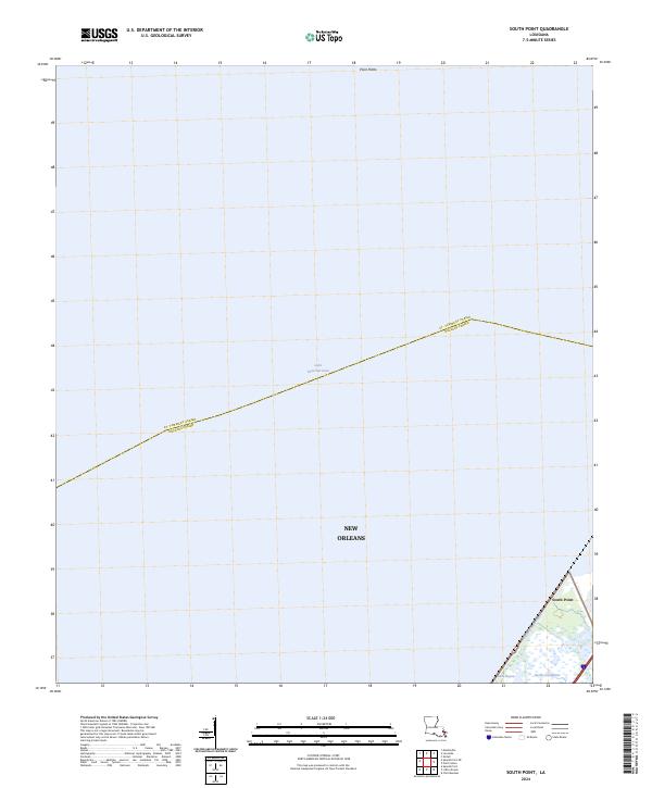
2024 South Point
Orleans Parish, LA
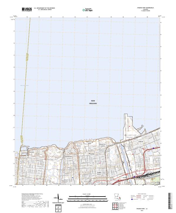
2024 Spanish Fort
Orleans Parish, LA