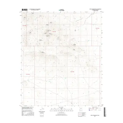
2017 Map of South Pyramid Peak
USGS Topo · Published 2017About this map
South Pyramid Peak and the surrounding Pyramid Mountains define this arid landscape in Hidalgo County, where water management is the primary marker of human presence. This 2017 topographic study reveals a complex network of ephemeral drainage features, including Woodhaul Canyon, Uhl Draw, and Pride Draw, which channel seasonal runoff through the high desert. Man-made water sources like China Pond, Bigote Tank, and Ira Tank serve as vital anchor points for local ranching operations, indicating the practical challenges of sustaining livestock in this environment. To the northwest, the Russel Hills and Kirk Peak provide additional topographic relief, while the named Pinkey Wright Mtn and Pinkey Wright Canyon preserve local nomenclature. The southern portion of the map is dominated by the vast alluvial fan at the base of the mountains, crossed only by Curry Rd as it traverses the open range.
Find a feature on this map
28 named features on this map. Tap any name to fly to it.
Don’t see what you’re looking for? This feature index may not catch every label — zoom into the map to look around manually.
Map Details
Editions of this 2017 South Pyramid Peak Map
This is the sole edition of this map. No revisions or reprints were ever made.
Other maps of this area

1918 · Playas
USGS Topo · 1:62,500

1918 · Pratt
USGS Topo · 1:62,500

1919 · Pratt
USGS Topo · 1:62,500

1919 · Playas
USGS Topo · 1:62,500

1954 · Silver City
USGS Topo · 1:250,000

1955 · Douglas
USGS Topo · 1:250,000

1958 · Silver City
USGS Topo · 1:250,000

1959 · Douglas
USGS Topo · 1:250,000

1961 · Douglas
USGS Topo · 1:250,000

1962 · Silver City
USGS Topo · 1:250,000