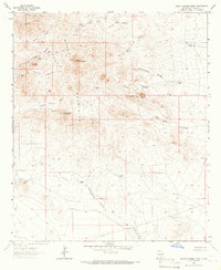
1964 Map of South Pyramid Peak
USGS Topo · Published 1966About this map
The Pyramid Mountains dominate this arid landscape in Hidalgo County, where the Continental Divide winds through a series of high peaks and rugged drainage basins. Established water sources are critical markers across this terrain, including the Rattler Well, Piedra Wells, and Hidden Wells, which supported the region’s ranching operations during the mid-1960s. The topographic detail highlights prominent landmarks such as South Pyramid Peak and Kirk Peak, alongside curiously named features like Elephant Back Hill.
Find a feature on this map
32 named features on this map. Tap any name to fly to it.
Don’t see what you’re looking for? This feature index may not catch every label — zoom into the map to look around manually.
Map Details
Editions of this 1964 South Pyramid Peak Map
2 editions found
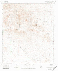
Other maps of this area

1918 · Playas
USGS Topo · 1:62,500

1918 · Pratt
USGS Topo · 1:62,500

1919 · Pratt
USGS Topo · 1:62,500

1919 · Playas
USGS Topo · 1:62,500

1954 · Silver City
USGS Topo · 1:250,000

1955 · Douglas
USGS Topo · 1:250,000

1958 · Silver City
USGS Topo · 1:250,000

1959 · Douglas
USGS Topo · 1:250,000

1961 · Douglas
USGS Topo · 1:250,000

1962 · Silver City
USGS Topo · 1:250,000