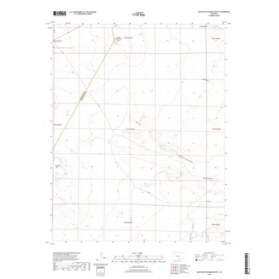
2019 Map of South Rattlesnake Butte
USGS Topo · Published 2019About this map
South Rattlesnake Butte rises as a prominent landmark along the boundary of Huerfano and Las Animas counties. This arid landscape is defined by deep drainage systems and intermittent water sources, where topographic relief is carved by Rattlesnake Canyon, Bass Canyon, and Dripping Springs Canyon. The presence of Baker Reservoir and smaller water catchments like Cordova Tank indicate the vital importance of water management in this high-plains environment.
Find a feature on this map
30 named features on this map. Tap any name to fly to it.
Don’t see what you’re looking for? This feature index may not catch every label — zoom into the map to look around manually.
Map Details
Editions of this 2019 South Rattlesnake Butte Map
This is the sole edition of this map. No revisions or reprints were ever made.
Other maps of this area

1891 · Walsenburg
USGS Topo · 1:125,000

1891 · Apishapa
USGS Topo · 1:125,000

1893 · Apishapa
USGS Topo · 1:125,000

1894 · Walsenburg
USGS Topo · 1:125,000

1897 · Walsenburg
USGS Topo · 1:125,000

1897 · Apishapa
USGS Topo · 1:125,000

1900 · Walsenburg
USGS Topo · 1:125,000

1954 · Trinidad
USGS Topo · 1:250,000

1955 · Trinidad
USGS Topo · 1:250,000

1958 · Trinidad
USGS Topo · 1:250,000