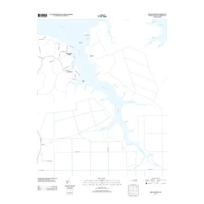
2013 Map of South River
USGS Topo · Published 2013About this map
Lukens and the South River settlement occupy the intricate shoreline of the South River, where the waterway meets the expansive Neuse River in eastern North Carolina. This coastal environment is defined by its dendritic drainage pattern, where numerous creeks and guts, such as Rich Island Gut and Miry-Gut, carve into the low-lying terrain. The coastal infrastructure is anchored by the South River Light, marking the passage near Horton Point and Cedar Point. To the west, Sportsmans Village represents a more concentrated residential development, accessible via Pamlico Pkwy and S River Rd. The map details the transition from open water bodies like Horton Bay and Abraham Bay to the marshy tributaries that feed into the W Fork S River and E Fork S River, providing a clear record of the region's complex coastal geography and local road networks.
Find a feature on this map
55 named features on this map. Tap any name to fly to it.
Don’t see what you’re looking for? This feature index may not catch every label — zoom into the map to look around manually.
Map Details
Editions of this 2013 South River Map
This is the sole edition of this map. No revisions or reprints were ever made.
Other maps of this area

1948 · Oriental
USGS Topo · 1:24,000

1949 · Point Of Marsh
USGS Topo · 1:24,000

1949 · Long Bay
USGS Topo · 1:24,000

1949 · Merrimon
USGS Topo · 1:24,000

1949 · Williston
USGS Topo · 1:24,000

1949 · South River
USGS Topo · 1:24,000

1949 · Davis
USGS Topo · 1:24,000

1949 · Core Creek
USGS Topo · 1:24,000

1950 · Long Bay
USGS Topo · 1:24,000

1950 · South River
USGS Topo · 1:24,000