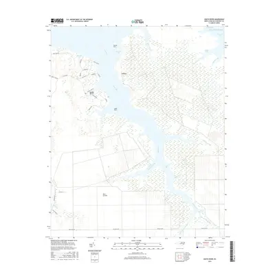
2016 Map of South River
USGS Topo · Published 2016About this map
South River and its intricate network of coastal tributaries define this Carteret County landscape, where the land fragmentizes into countless points and marshy guts before meeting the Atlantic Ocean. The settlement of Lukens sits on the western shore, positioned between the river and the extensive marshes of Horton Bay. To the south, the massive expanse of Open Grounds dominates the interior, showing a distinct pattern of drainage and land management that contrasts with the natural wandering of Southwest Creek and Buck Creek.
Find a feature on this map
41 named features on this map. Tap any name to fly to it.
Don’t see what you’re looking for? This feature index may not catch every label — zoom into the map to look around manually.
Map Details
Editions of this 2016 South River Map
This is the sole edition of this map. No revisions or reprints were ever made.
Other maps of this area

1948 · Oriental
USGS Topo · 1:24,000

1949 · Point Of Marsh
USGS Topo · 1:24,000

1949 · Long Bay
USGS Topo · 1:24,000

1949 · Merrimon
USGS Topo · 1:24,000

1949 · Williston
USGS Topo · 1:24,000

1949 · South River
USGS Topo · 1:24,000

1949 · Davis
USGS Topo · 1:24,000

1949 · Core Creek
USGS Topo · 1:24,000

1950 · Long Bay
USGS Topo · 1:24,000

1950 · South River
USGS Topo · 1:24,000