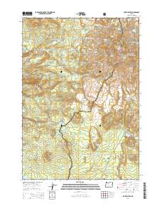
2014 Map of South Sister
USGS Topo · Published 2014About this map
South Sister and the wider Three Sisters peaks dominate this high-altitude landscape along the border of Lane and Deschutes counties. The topography is defined by massive volcanic features and active glacial systems, including the Carver Glacier, Eugene Glacier, and Skinner Glacier. This 2014 survey documents the complex drainage patterns formed by these ice fields, feeding high lakes such as the Chambers Lakes and Moraine Lake.
Find a feature on this map
68 named features on this map. Tap any name to fly to it.
Don’t see what you’re looking for? This feature index may not catch every label — zoom into the map to look around manually.
Map Details
Editions of this 2014 South Sister Map
This is the sole edition of this map. No revisions or reprints were ever made.
Other maps of this area

1929 · Three Sisters
USGS Topo · 1:125,000

1930 · Maiden Peak
USGS Topo · 1:125,000

1932 · Three Sisters
USGS Topo · 1:125,000

1934 · Maiden Peak
USGS Topo · 1:125,000

1955 · Crescent
USGS Topo · 1:250,000

1955 · Bend
USGS Topo · 1:250,000

1957 · Crescent
USGS Topo · 1:250,000

1957 · Bend
USGS Topo · 1:250,000

1958 · Crescent
USGS Topo · 1:250,000

1958 · Bend
USGS Topo · 1:250,000