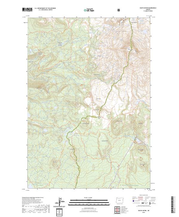
2023 Map of South Sister
USGS Topo · Published 2023About this map
The volcanic peaks of the Three Sisters dominate this landscape, with South Sister marking a significant elevation point along the boundary of the Willamette National Forest and Deschutes National Forest. High-altitude glacial activity is clearly visible through numerous ice fields, including the Eugene Glacier, Prouty Glacier, and Lewis Glacier. The terrain reveals a complex history of volcanic eruptive centers and drainage patterns, from the expansive Rock Mesa to the waters of Linton Lake and Devils Lake. Significant trail networks, most notably the Pacific Crest National Scenic Trl, weave through the Three Sisters Wilderness, providing passage through a wilderness preserved for its geological and ecological value. The northeastern corner is further distinguished by the Whychus Creek Wild and Scenic River, highlighting the region's protected status.
Find a feature on this map
82 named features on this map. Tap any name to fly to it.
Don’t see what you’re looking for? This feature index may not catch every label — zoom into the map to look around manually.
Map Details
Editions of this 2023 South Sister Map
This is the sole edition of this map. No revisions or reprints were ever made.
Other maps of this area

1929 · Three Sisters
USGS Topo · 1:125,000

1930 · Maiden Peak
USGS Topo · 1:125,000

1932 · Three Sisters
USGS Topo · 1:125,000

1934 · Maiden Peak
USGS Topo · 1:125,000

1955 · Crescent
USGS Topo · 1:250,000

1955 · Bend
USGS Topo · 1:250,000

1957 · Crescent
USGS Topo · 1:250,000

1957 · Bend
USGS Topo · 1:250,000

1958 · Crescent
USGS Topo · 1:250,000

1958 · Bend
USGS Topo · 1:250,000