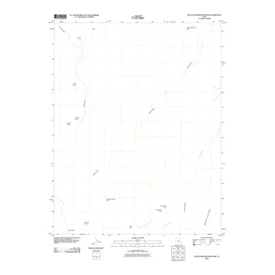
2010 Map of South Six-shooter Peak
USGS Topo · Published 2010About this map
Tower Ruin and Keyhole Ruins stand as prominent archaeological markers in this desert landscape, where vertical relief is defined by deep drainages and soaring rock formations. The terrain is a labyrinth of wind-carved stone, featuring an exceptional concentration of natural spans such as Gothic Arch, Castle Arch, and the elongated Caterpiller Arch. Extensive canyon systems like Davis Canyon and Horse Canyon dominate the topography, revealing the intricate water-carved history of the region. On the southern edge of the survey, Big Pocket lies tucked away near the Fisheye Arch, while the massive Bridger Jack Mesa rises to the east. The naming conventions for these features, from the descriptive Thirteen Faces to the evocative South Sixshooter Peak, reflect both the physical characteristics of the land and its cultural heritage.
Find a feature on this map
19 named features on this map. Tap any name to fly to it.
Don’t see what you’re looking for? This feature index may not catch every label — zoom into the map to look around manually.
Map Details
Editions of this 2010 South Six-shooter Peak Map
This is the sole edition of this map. No revisions or reprints were ever made.
Other maps of this area

1885 · La Sal
USGS Topo · 1:250,000

1886 · Abajo
USGS Topo · 1:250,000

1892 · Abajo
USGS Topo · 1:250,000

1893 · Abajo
USGS Topo · 1:250,000

1935 · Elk Ridge
USGS Topo · 1:96,000

1940 · Elk Ridge
USGS Topo · 1:125,000

1953 · The Needles
USGS Topo · 1:62,500

1954 · Elk Ridge 1 NW
USGS Topo · 1:24,000

1954 · Elk Ridge 1 NE
USGS Topo · 1:24,000

1954 · Carlisle 4 SW
USGS Topo · 1:24,000