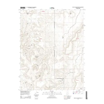
2014 Map of South Six-shooter Peak
USGS Topo · Published 2014About this map
Canyonlands National Park encompasses the western half of this 2014 survey, a region defined by an extraordinary concentration of natural arches and high desert landforms. The eastern portion is dominated by the towering South Sixshooter Peak and the expansive Bridger Jack Mesa. Throughout the landscape, numerous geologic features have earned descriptive names, including Gothic Arch, Castle Arch, and Fortress Arch, alongside more whimsical designations such as Paul Bunyans Potty. The drainage systems of Davis Canyon, Lavender Creek, and Salt Creek illustrate the erosive forces that shaped these canyons. A notable interpretive element is the cluster of arches in the southern reach, where Gunsight Natural Bridge, Caterpillar Arch, and Hand Hold Arch stand near the confluence of W Fork Lavender Creek and the main branch of the stream.
Find a feature on this map
28 named features on this map. Tap any name to fly to it.
Don’t see what you’re looking for? This feature index may not catch every label — zoom into the map to look around manually.
Map Details
Editions of this 2014 South Six-shooter Peak Map
This is the sole edition of this map. No revisions or reprints were ever made.
Other maps of this area

1885 · La Sal
USGS Topo · 1:250,000

1886 · Abajo
USGS Topo · 1:250,000

1892 · Abajo
USGS Topo · 1:250,000

1893 · Abajo
USGS Topo · 1:250,000

1935 · Elk Ridge
USGS Topo · 1:96,000

1940 · Elk Ridge
USGS Topo · 1:125,000

1953 · The Needles
USGS Topo · 1:62,500

1954 · Elk Ridge 1 NW
USGS Topo · 1:24,000

1954 · Elk Ridge 1 NE
USGS Topo · 1:24,000

1954 · Carlisle 4 SW
USGS Topo · 1:24,000