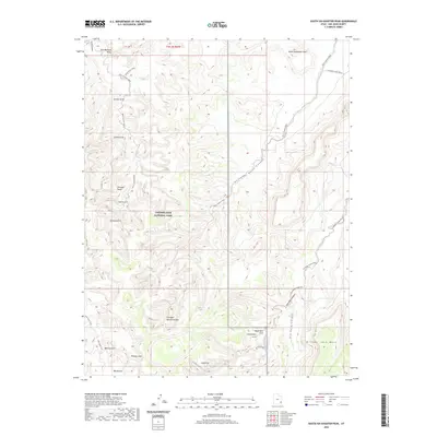
2020 Map of South Six-shooter Peak
USGS Topo · Published 2020About this map
Canyonlands National Park dominates the western portion of this 2020 landscape, characterized by a high concentration of distinctive geological formations within San Juan County. The terrain is marked by numerous named arches and bridges, including Anchor Arch, Gothic Arch, and Gunsight Natural Bridge. In the north, South Sixshooter Peak stands near the creatively named Paul Bunyans Potty, while the southern reaches feature Bridger Jack Mesa and Big Pocket. The map documents a network of unpaved routes like Davis Canyon Road and Horse Canyon Road that trace the drainage patterns of Lavender Canyon and Horse Canyon, illustrating the modern accessibility of this remote high-desert region. These paths connect hikers and visitors to landmarks like Thirteen Faces and Castle Arch, serving as a modern guide to the intricate sandstone topography of the Needles area.
Find a feature on this map
36 named features on this map. Tap any name to fly to it.
Don’t see what you’re looking for? This feature index may not catch every label — zoom into the map to look around manually.
Map Details
Editions of this 2020 South Six-shooter Peak Map
This is the sole edition of this map. No revisions or reprints were ever made.
Other maps of this area

1885 · La Sal
USGS Topo · 1:250,000

1886 · Abajo
USGS Topo · 1:250,000

1892 · Abajo
USGS Topo · 1:250,000

1893 · Abajo
USGS Topo · 1:250,000

1935 · Elk Ridge
USGS Topo · 1:96,000

1940 · Elk Ridge
USGS Topo · 1:125,000

1953 · The Needles
USGS Topo · 1:62,500

1954 · Elk Ridge 1 NW
USGS Topo · 1:24,000

1954 · Elk Ridge 1 NE
USGS Topo · 1:24,000

1954 · Carlisle 4 SW
USGS Topo · 1:24,000