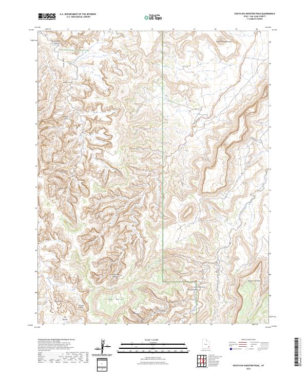
2023 Map of South Six-shooter Peak
USGS Topo · Published 2023About this map
Canyonlands National Park encompasses the western half of this landscape, where a dense concentration of sandstone spans and natural formations are clustered. Notable landmarks such as Paul Bunyans Potty and Anchor Arch define the high country above Salt Creek. The map records a complex network of drainages including Davis Canyon and Lavender Canyon, which cut through the high plateaus of Cedar Mesa and Bridger Jack Mesa.
Find a feature on this map
25 named features on this map. Tap any name to fly to it.
Don’t see what you’re looking for? This feature index may not catch every label — zoom into the map to look around manually.
Map Details
Editions of this 2023 South Six-shooter Peak Map
This is the sole edition of this map. No revisions or reprints were ever made.
Other maps of this area

1885 · La Sal
USGS Topo · 1:250,000

1886 · Abajo
USGS Topo · 1:250,000

1892 · Abajo
USGS Topo · 1:250,000

1893 · Abajo
USGS Topo · 1:250,000

1935 · Elk Ridge
USGS Topo · 1:96,000

1940 · Elk Ridge
USGS Topo · 1:125,000

1953 · The Needles
USGS Topo · 1:62,500

1954 · Elk Ridge 1 NW
USGS Topo · 1:24,000

1954 · Elk Ridge 1 NE
USGS Topo · 1:24,000

1954 · Carlisle 4 SW
USGS Topo · 1:24,000