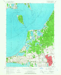
1956 Map of Southampton
USGS Topo · Published 1966About this map
The town of Southampton sits between the expansive waters of Shinnecock Bay and the intricate coastline of Little Peconic Bay. This mid-century survey reveals a landscape deeply defined by its maritime geography and early recreational prestige, featuring world-class courses like the National Golf Links Of America and the Shinnecock Hills Golf Course. The Shinnecock Indian Reservation occupies a prominent peninsula on the southern shore, while the Long Island Railroad cuts through the low hills to serve the village center. Cultural and communal landmarks are well-represented, from the historic Old Southampton Cemetery and Art Village to local gathering points like the Old Cove Yacht Club in New Suffolk. The interior is dotted with numerous ponds and creeks, such as Big Fresh Pond and Sebonac Creek, illustrating the complex network of fresh and salt water that has shaped settlement patterns and land use in this part of Suffolk County.
Find a feature on this map
80 named features on this map. Tap any name to fly to it.
Don’t see what you’re looking for? This feature index may not catch every label — zoom into the map to look around manually.
Map Details
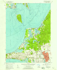
Editions of this 1956 Southampton Map
2 editions found
Other maps of this area

1903 · Sag Harbor
USGS Topo · 1:62,500

1903 · Riverhead
USGS Topo · 1:62,500

1904 · Sag Harbor
USGS Topo · 1:62,500

1904 · Shelter Island
USGS Topo · 1:62,500

1904 · Riverhead
USGS Topo · 1:62,500

1943 · Riverhead
USGS Topo · 1:62,500

1946 · Sag Harbor
USGS Topo · 1:24,000

1947 · Mattituck
USGS Topo · 1:24,000

1947 · Mattituck Hills
USGS Topo · 1:24,000

1947 · Southold
USGS Topo · 1:24,000