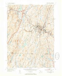
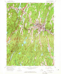
1952 Map of Southbridge
USGS Topo · Published 1954About this map
The Quinebaug River anchors this mid-century survey of the industrial and educational landscape of South-Central Massachusetts. The town of Southbridge appears as a dense hub of development, flanked by Globe Village and Sandersdale. This era captures Old Sturbridge Village in its early years as a living history museum, contrasting with the active manufacturing footprint suggested by the river-side infrastructure and local landmarks like the Notre Dame Sem.
Find a feature on this map
68 named features on this map. Tap any name to fly to it.
Don’t see what you’re looking for? This feature index may not catch every label — zoom into the map to look around manually.
Map Details
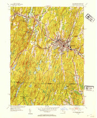
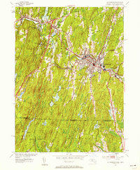
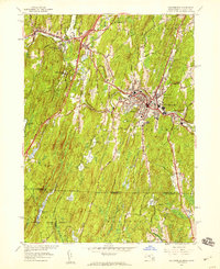
Editions of this 1952 Southbridge Map
5 editions found
Other maps of this area

1887 · Brookfield
USGS Topo · 1:62,500

1889 · Webster
USGS Topo · 1:62,500

1889 · Putnam
USGS Topo · 1:62,500

1890 · Brookfield
USGS Topo · 1:62,500

1892 · Woodstock
USGS Topo · 1:62,500

1892 · Webster
USGS Topo · 1:62,500

1893 · Putnam
USGS Topo · 1:62,500

1893 · Brookfield
USGS Topo · 1:62,500

1908 · Quinsigamond
USGS Topo · 1:125,000

1908 · Ware
USGS Topo · 1:125,000