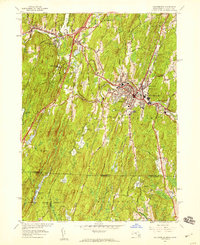
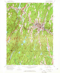
1952 Map of Southbridge
USGS Topo · Published 1959About this map
Southbridge and Sturbridge dominate this mid-century landscape where the industrial heritage of the Quinebaug River meets emerging recreational and preservation sites. The map features the early development of Old Sturbridge Village, an outdoor history museum that contrasts with the active manufacturing centers of Globe Village and Sandersdale. Water management is a defining characteristic of the terrain, visible through a series of reservoirs including No 1 Reservoir through No 5 Reservoir, which supported the local population and industry. To the south, the densely wooded Nipmuck State Forest spans the border between Massachusetts and Connecticut, highlighting a more rural, undeveloped character. Local social life is evidenced by the Southbridge Airfield, Cohasse Country Club, and various religious and educational institutions like St Marys Sch and Notre Dame Cem.
Find a feature on this map
53 named features on this map. Tap any name to fly to it.
Don’t see what you’re looking for? This feature index may not catch every label — zoom into the map to look around manually.
Map Details
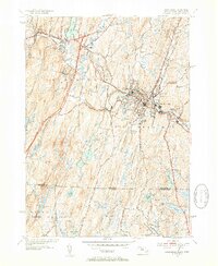
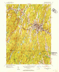
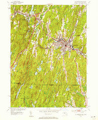
Editions of this 1952 Southbridge Map
5 editions found
Other maps of this area

1887 · Brookfield
USGS Topo · 1:62,500

1889 · Webster
USGS Topo · 1:62,500

1889 · Putnam
USGS Topo · 1:62,500

1890 · Brookfield
USGS Topo · 1:62,500

1892 · Woodstock
USGS Topo · 1:62,500

1892 · Webster
USGS Topo · 1:62,500

1893 · Putnam
USGS Topo · 1:62,500

1893 · Brookfield
USGS Topo · 1:62,500

1908 · Quinsigamond
USGS Topo · 1:125,000

1908 · Ware
USGS Topo · 1:125,000