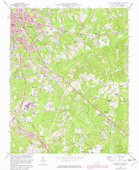
1973 Map of Southeast Durham
USGS Topo · Published 1982About this map
Durham expands southeastward in the early 1970s, as urban residential grids give way to the emerging institutional landscapes of the Research Triangle Park. The map documents a pivotal era of regional growth, where traditional communities like Bethesda, Oak Grove, and Joyland are increasingly joined by large-scale infrastructure including the Raleigh-Durham Airport and extensive sewage disposal facilities. The natural drainage of Lick Creek and Brier Creek still defines much of the undeveloped woodland, though the presence of the Southern railroad and several cemeteries like Woodlawn Memorial Park indicate long-standing settlement patterns.
Find a feature on this map
66 named features on this map. Tap any name to fly to it.
Don’t see what you’re looking for? This feature index may not catch every label — zoom into the map to look around manually.
Map Details
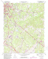
Editions of this 1973 Southeast Durham Map
2 editions found
Other maps of this area

1943 · Durham South
USGS Topo · 1:62,500

1943 · Raleigh
USGS Topo · 1:62,500

1943 · Creedmoor
USGS Topo · 1:62,500

1944 · Creedmoor
USGS Topo · 1:62,500

1951 · Raleigh
USGS Topo · 1:62,500

1951 · Durham South
USGS Topo · 1:62,500

1951 · Durham North
USGS Topo · 1:62,500

1953 · Raleigh
USGS Topo · 1:250,000

1953 · Greensboro
USGS Topo · 1:250,000

1954 · Greensboro
USGS Topo · 1:250,000