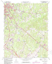
1973 Map of Southeast Durham
USGS Topo · Published 1987About this map
The boundary between Durham Co and Wake Co serves as the spine of this mid-1970s topographical record, which captures a period of intense institutional and infrastructure development. The Research Triangle Park and the sprawling Raleigh-Durham Airport dominate the southern portion of the sheet, illustrating the transition from rural crossroads to a modern technological and transit hub. Waterways like Lick Creek and Brier Creek carve through the landscape, while the northern edge is marked by the newly formed Falls Lake and its associated Falls Lake State Park.
Find a feature on this map
45 named features on this map. Tap any name to fly to it.
Don’t see what you’re looking for? This feature index may not catch every label — zoom into the map to look around manually.
Map Details
Editions of this 1973 Southeast Durham Map
2 editions found
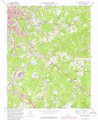
Other maps of this area

1943 · Durham South
USGS Topo · 1:62,500

1943 · Raleigh
USGS Topo · 1:62,500

1943 · Creedmoor
USGS Topo · 1:62,500

1944 · Creedmoor
USGS Topo · 1:62,500

1951 · Raleigh
USGS Topo · 1:62,500

1951 · Durham South
USGS Topo · 1:62,500

1951 · Durham North
USGS Topo · 1:62,500

1953 · Raleigh
USGS Topo · 1:250,000

1953 · Greensboro
USGS Topo · 1:250,000

1954 · Greensboro
USGS Topo · 1:250,000