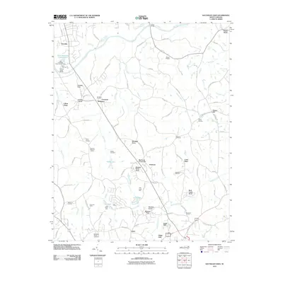
2010 Map of Southeast Eden
USGS Topo · Published 2010About this map
The Dan River snakes across this North Carolina landscape, providing the drainage for a network of creeks including Covenant Branch, Machine Creek, and Wolf Island Creek. In this region south of the Virginia border, the 2010 landscape is characterized by a high density of small residential developments such as Meadow Wood Acres, Shannon Forest, and College Village. These modern settlements are interspersed with numerous burial grounds of significant genealogical value, including Slaydon Cemetery and Mount Hermon Cemetery, highlighting the deep roots of families in the area.
Find a feature on this map
107 named features on this map. Tap any name to fly to it.
Don’t see what you’re looking for? This feature index may not catch every label — zoom into the map to look around manually.
Map Details
Editions of this 2010 Southeast Eden Map
This is the sole edition of this map. No revisions or reprints were ever made.
Other maps of this area

1924 · Martinsville
USGS Topo · 1:48,000

1924 · Draper
USGS Topo · 1:48,000

1926 · Martinsville
USGS Topo · 1:62,500

1926 · Draper
USGS Topo · 1:62,500

1927 · Martinsville
USGS Topo · 1:62,500

1944 · Martinsville
USGS Topo · 1:62,500

1944 · Draper
USGS Topo · 1:62,500

1953 · Greensboro
USGS Topo · 1:250,000

1954 · Greensboro
USGS Topo · 1:250,000

1962 · Greensboro
USGS Topo · 1:250,000