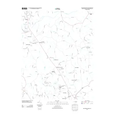
2013 Map of Southeast Eden
USGS Topo · Published 2013About this map
The Dan River snakes through this northern Piedmont landscape, forming a natural corridor for the suburban growth branching out from the Eden area. Development is concentrated in a network of residential communities and established clusters such as Bethlehem, Forestdale, and Shannon Park. The transition from rural to suburban is evident in the naming of these neighborhoods, many of which are situated near historic crossings like Harrisons Crossroads.
Find a feature on this map
193 named features on this map. Tap any name to fly to it.
Don’t see what you’re looking for? This feature index may not catch every label — zoom into the map to look around manually.
Map Details
Editions of this 2013 Southeast Eden Map
This is the sole edition of this map. No revisions or reprints were ever made.
Other maps of this area

1924 · Martinsville
USGS Topo · 1:48,000

1924 · Draper
USGS Topo · 1:48,000

1926 · Martinsville
USGS Topo · 1:62,500

1926 · Draper
USGS Topo · 1:62,500

1927 · Martinsville
USGS Topo · 1:62,500

1944 · Martinsville
USGS Topo · 1:62,500

1944 · Draper
USGS Topo · 1:62,500

1953 · Greensboro
USGS Topo · 1:250,000

1954 · Greensboro
USGS Topo · 1:250,000

1962 · Greensboro
USGS Topo · 1:250,000