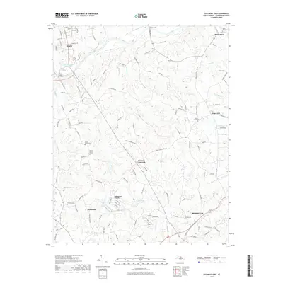
2019 Map of Southeast Eden
USGS Topo · Published 2019About this map
The Dan River snakes across the northern reaches of this Rockingham County landscape, flowing past the Eden Presettling Impoundment and under the Draper Bridge. This area serves as a transitional corridor between the larger communities of Eden and Reidsville, defined by a network of rural crossroads and family settlements. High ground to the east is marked by the community of Oregon Hill and several local landmarks including Mount Carmel Cemetery.
Find a feature on this map
133 named features on this map. Tap any name to fly to it.
Don’t see what you’re looking for? This feature index may not catch every label — zoom into the map to look around manually.
Map Details
Editions of this 2019 Southeast Eden Map
This is the sole edition of this map. No revisions or reprints were ever made.
Other maps of this area

1924 · Martinsville
USGS Topo · 1:48,000

1924 · Draper
USGS Topo · 1:48,000

1926 · Martinsville
USGS Topo · 1:62,500

1926 · Draper
USGS Topo · 1:62,500

1927 · Martinsville
USGS Topo · 1:62,500

1944 · Martinsville
USGS Topo · 1:62,500

1944 · Draper
USGS Topo · 1:62,500

1953 · Greensboro
USGS Topo · 1:250,000

1954 · Greensboro
USGS Topo · 1:250,000

1962 · Greensboro
USGS Topo · 1:250,000